
By Bosphorus News Geopolitics Desk
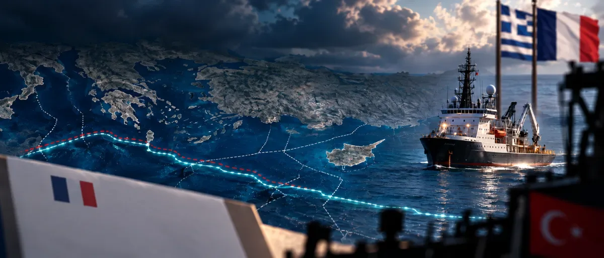
Kathimerini reports that Athens and Paris have agreed on the wording of the notification that will precede renewed seabed surveys for the Great Sea Interconnector (GSI), but have not decided who will issue it.
The notice would identify a French-flagged survey vessel, describe the areas where it will work and state how long the operation will last, with Türkiye among the coastal states informed and Egypt potentially included depending on the survey area. A navigational warning (NAVTEX) would then be issued by the Heraklion station of the Hellenic Navy Hydrographic Service.
The unresolved element is the sender. According to the same report, the notification could come from the vessel itself, French infrastructure investor Meridiam or the French government, and Athens has not ruled out any of the three.
That choice bears directly on the position Turkish officials set out to Kathimerini in August. Ankara does not oppose submarine cables or connectivity projects, the officials said, but expects the flag state of vessels working in areas where Türkiye claims sovereign rights and jurisdiction to make contact through diplomatic channels before work begins, with the aim of coordination and avoiding conflicting activity.
A French government notification delivered through diplomatic channels would most closely resemble the channel Turkish sources described, although Kathimerini notes that even a notice from Paris may not satisfy Ankara. A notification from Meridiam or the vessel would leave a wider gap between the proposed procedure and Türkiye's stated position.
Bosphorus News set out the preparations for a French-flagged vessel and the return to the Kasos route in a Sept. 14 report.
The commercial French role is confirmed, the flag arrangement is not
France is already inside the project commercially. An agreement was signed on Aug. 5 for Meridiam to become GSI's majority shareholder, while Greece's Independent Power Transmission Operator (IPTO), GSI and French cable manufacturer Nexans signed a separate agreement the same day covering seabed survey work. Greek Prime Minister Kyriakos Mitsotakis attended both signings.
Mitsotakis and French President Emmanuel Macron discussed the next steps for the Greece-Cyprus electricity interconnection at the Élysée Palace on Sept. 9. The Greek prime minister's official account confirms the discussion and Meridiam's role but does not say that France committed a French-flagged vessel or agreed that the French government would issue the notification.
Those details remain based on Kathimerini's reporting.
Ankara's 2021 response ran through the flag state and the owner
Türkiye has already used diplomatic channels linked to a survey vessel's nationality and ownership. In autumn 2021, the Malta-flagged Nautical Geo was preparing survey work east of Crete and later off Cyprus in areas that included waters Türkiye claims as part of its continental shelf.
Ankara contacted Malta, the flag state, and Italy, where the shipowner was based, before issuing a NOTMAR and NAVTEX on Oct. 1 stating that the activity had to be coordinated with Türkiye. A Turkish naval vessel subsequently challenged the ship, and Turkish authorities said it was moved out of an area Türkiye claims as continental shelf.
The 2021 episode therefore involved more than the flag state alone: Ankara contacted both Malta and Italy before issuing navigational warnings and deploying a naval response. If the next GSI survey vessel sails under the French flag, France would be the flag-state counterpart in any comparable diplomatic exchange.
Athens rejects a permission requirement
Greece draws a different line between notification and consent. Foreign Minister Giorgos Gerapetritis said on Aug. 31 that work could restart before the end of 2026 and that Greece would not seek Türkiye's permission, arguing that international law did not require Turkish consent.
The notification described by Kathimerini would preserve that distinction from the Greek perspective, with Türkiye informed of the vessel, survey areas and duration without the communication being presented as a request for authorization.
Türkiye's stated position focuses instead on prior diplomatic contact and coordination where it says its sovereign rights and jurisdiction are involved. No agreement between Ankara and Athens on that procedure has been announced.
Türkiye's maritime claims are already in the UN record
Ankara has set out its Eastern Mediterranean maritime position in a series of submissions to the United Nations.
A Feb. 16, 2026 letter from Türkiye's Permanent Representative lists notes verbales and letters dating from 2004 through 2020 that Ankara cites as the record of its maritime position in the region, including the outer limits of the Turkish continental shelf submitted to the UN in March 2020, the 2011 Türkiye-Turkish Republic of Northern Cyprus continental shelf delimitation agreement and the 2019 Türkiye-Libya maritime memorandum.
The coordinates drawn from the 2011 agreement, covering the stretch between longitudes 32°16'18.000"E and 34°48'51.634"E, were transmitted to the UN in April 2014.
The same letter restates Türkiye's argument that islands do not automatically receive full effect in every maritime delimitation, citing the 1977 France-United Kingdom arbitration and International Court of Justice cases involving Romania and Ukraine in 2009 and Nicaragua and Colombia in 2012. It also challenges parts of Greece's 2025 Maritime Spatial Plan and reaffirms Türkiye's commitment to the 2023 Athens Declaration.
The UN submission records Türkiye's position but does not adjudicate the maritime boundary between Türkiye and Greece. Once the survey coordinates are published, they can be compared with the limits Türkiye submitted to the UN.
Forty percent of the survey work remains in the disputed section
Cyprus Mail, citing IPTO, reported that around 60 percent of the seabed surveys have been completed, leaving 40 percent in waters claimed by both Greece and Türkiye.
Those are the areas that have previously brought survey ships and naval units into close proximity. In July 2024, the Italian-flagged Ievoli Relume carried out survey work near Kasos and Karpathos as Greek and Turkish naval units deployed in the area.
Republic of Cyprus Energy Minister Michalis Damianos said in August that the next surveys would be carried out by a French vessel and that a new NAVTEX would be issued in the coming weeks, while Nicosia was waiting for the European Investment Bank's due-diligence assessment before deciding whether to take an equity stake in the project.
EU backing does not settle the maritime dispute
GSI is backed by European funding. The European Commission awarded 657 million euros to the project through the Connecting Europe Facility in January 2022, the largest single award in that package, while Cyprus's Recovery and Resilience Plan provides a further 100 million euros for the interconnection.
European grid planning also favors GSI. The European Network of Transmission System Operators for Electricity (ENTSO-E) said in April that GSI is the only project connecting the Republic of Cyprus included in its Ten-Year Network Development Plan and that it would not consider another project connecting the Republic of Cyprus for inclusion without the consent of the Cyprus transmission system operator, which it identifies as the sole certified operator for the territory of the Republic of Cyprus under EU law.
That currently leaves a proposed Türkiye-northern Cyprus electricity connection outside the European planning process under those rules, but it does not determine maritime boundaries between Türkiye and Greece.
GSI also remains under investigation by the European Public Prosecutor's Office (EPPO), which confirmed in September 2025 that it had opened an investigation but declined to disclose its scope or targets. Reports that the inquiry concerns the period before IPTO took over the project have not been confirmed by EPPO.
What the notification will show
Kathimerini's reporting leaves three facts unresolved: the identity and registry of the vessel, the precise survey coordinates and the sender of the notification.
The first two will show where the work is planned and under which flag, while the third will show whether the arrangement uses the flag-state diplomatic channel Türkiye says it expects before survey work begins.
Sources: United Nations General Assembly documents A/80/642, A/74/757 and A/68/857, European Commission, ENTSO-E, Office of the Prime Minister of Greece, European Public Prosecutor's Office, Kathimerini, Cyprus Mail, Euronews, Anadolu Agency, Bosphorus News review and reporting.