
By Bosphorus News Geopolitics Desk
Türkiye's tour of Middle East allies ended with a map, and the map ended up saying more about Cyprus than the tour itself. The US Central Command's tour of its own allies, that is: on Sunday, August 16, CENTCOM announced the conclusion of a 10-day trip by its commander, Admiral Brad Cooper, through Bahrain, Iraq, Israel, Jordan, Saudi Arabia and the United Arab Emirates. Cooper also presided over a change of command for the coalition task force still fighting the remnants of ISIS and visited the carrier USS Abraham Lincoln, where he addressed a crew nearing the end of one of the longest deployments in recent memory. CENTCOM said more than 50,000 US personnel currently operate across its area of responsibility.
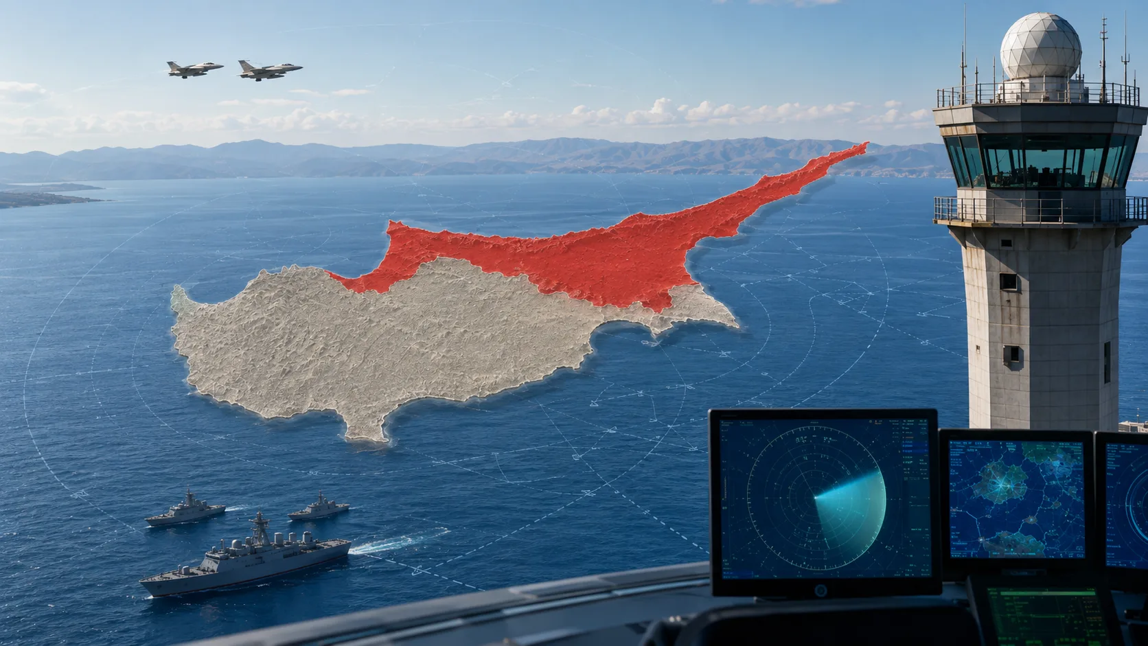
The regional map that accompanied the post carried no caption referencing Cyprus and used no political labels anywhere on the island, according to a detailed reading by the Turkish Cypriot outlet Kıbrıs Postası: no "TRNC," no "Republic of Cyprus," no "northern Cyprus." What it did show was a line running through the island, tracking its actual division.
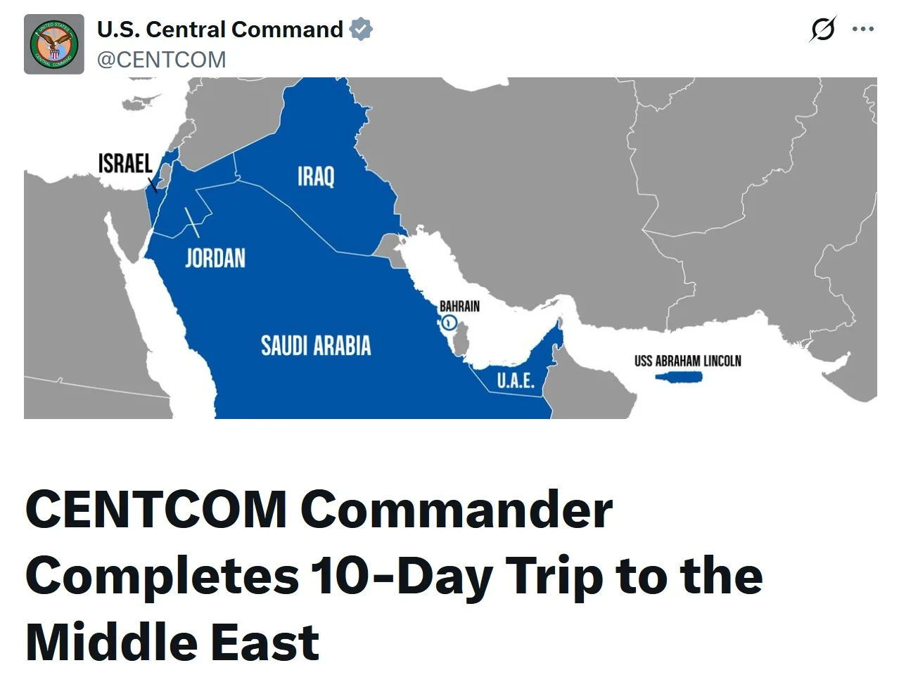
That line found its meaning online. Turkish journalist Sefa Karahasan posted the graphic on X with his own caption asserting that Cyprus now appears as two states, a claim that originated with him rather than with CENTCOM, whose own material describes the graphic simply as an area-of-responsibility map. The outlet Star ran with the same reading, presenting the line as proof of Türkiye's long-standing two-state proposal for the island. A separate wire report, syndicated in near-identical wording across Akşam, Yeni Şafak and other outlets, framed the story differently, around the reaction it caused in the Republic of Cyprus, and drew a comparison to March 2022, when the UK Ministry of Defence published a Ukraine-related video showing Cyprus without its Turkish Cypriot-administered north or the British Sovereign Base Areas. Cypriot parties condemned the video, London withdrew it, and the UK High Commission later apologized, called it a design error and issued a corrected version. That same wire report said Cypriot media had called for the Republic of Cyprus Foreign Ministry to intervene, a claim Bosphorus News has not been able to verify against Greek-language sources.
Greek and Cypriot coverage pushed back on the two-state reading directly, noting that nothing in CENTCOM's post tied the map to a policy position and treating Star's framing as the newspaper's own interpretation. A panel on the Turkish network Haber Global went through both readings on air: one participant's opening reaction was that the map showed Washington accepting the island's division, and a second walked that back, arguing the line more likely reflects where US forces can operate rather than any judgment on sovereignty, pointing to Washington's use of the Republic of Cyprus's Andreas Papandreou Air Base in Pafos against the absence of any comparable access in the north.
Washington does not recognize the Turkish Republic of Northern Cyprus (TRNC), a status only Türkiye extends, and nothing in CENTCOM's post or any statement since has changed that.
From a Personal Post to a Diplomatic Story
CENTCOM published an unlabeled regional map. A journalist gave it a caption. A newspaper turned the caption into a headline. A wire service turned the headline into a story about Cypriot outrage, complete with a 2022 precedent. By the time Greek and Cypriot outlets were writing rebuttals, the argument was already three steps removed from anything CENTCOM had actually said. The 2022 case shows this isn't new: an ally's map touches Cyprus, a controversy follows, and the map gets quietly fixed. What changed this time is how fast the interpretation outran the source.
Sources: U.S. Central Command, Kıbrıs Postası, Star, Akşam, Yeni Şafak, Cyprus Mail, Haber Global, Greek media coverage of Turkish reporting, Bosphorus News review and reporting.